Get to Know Bill: Our Professional Land Surveyor
As a member of the Professional Land Surveyors of Colorado since 1982 and co-founder of the Northwest One-Quarter Chapter of the PLSC (1995), I continue to be involved in developing my profession.
I bring knowledge in Land Surveying as an expert in property boundary retracement and conflict resolution. I have spent my entire career in the Public Land Survey System, addressing hundreds of PLSS boundary location investigations, patented and unpatented mining claims, and related mineral estate issues. I can offer expertise as a BLM Certified Cadastral Surveyor.
In addition to investigations into land title issues, boundary location, legal access, encumbrances and restrictive easements, platting, and subdivision of land, I have experience in detailed evaluations of land use systems about local, state, and federal regulatory requirements and feasibility studies related to the proposed development. Additionally, my services have been utilized as an expert witness in the location of mineral estate interests and legal access issues.
Education and Professional Development
- Metropolitan State College – Course study in Mathematics, Chemistry
- University of Colorado – Course study in Anthropology, Archaeology, Computer Science
- Colorado School of Mines – Basic Civil Engineering / Land Surveying
- Community College of Denver Red Rocks Campus – Boundary Law in land surveying, photogrammetry, surveying astronomy, measurement analysis and adjustments, land information systems, computer-aided drafting, and advanced studies in Boundary Law.
- Colorado Mesa University – Boundary law.
- Licensed Colorado Professional Land Surveyor – (license current)
- BLM (Certified Federal Surveyor – certification current)
Continuing Education
Professional Training: Certificates (small sample copies of certificates available upon request)
- The Relationships of Boundaries to Legal Status and Legal Processes
- Resolving conflicts of evidence
- Legal and Technical Requirements of Easements and Rights-of-Way
- Corner Evidence Analysis
- Legal Aspects of Land Surveying
- Legal Issues For The Prudent Surveyor
- Anatomy of Colorado Boundary Cases
- Evidence as Seen By The Judge, The Lawyer, and the Expert
- The Surveyor In Court / Quiet Title
- The Surveyor In Court – Defensible Decisions
- Public Lands Survey System -2000-2009
- ALTA / ACSM Land Title Surveys
- Subdivision of Sections and Fractional Sections – Unconventional Surveys
- Lotted Sections in conjunction with Homestead Entries and US Mineral Surveys
- Riparian Boundaries
- BLM Certified Cadastral Surveyor (CFedS #1699) course study (200+hrs)
Consulting Services
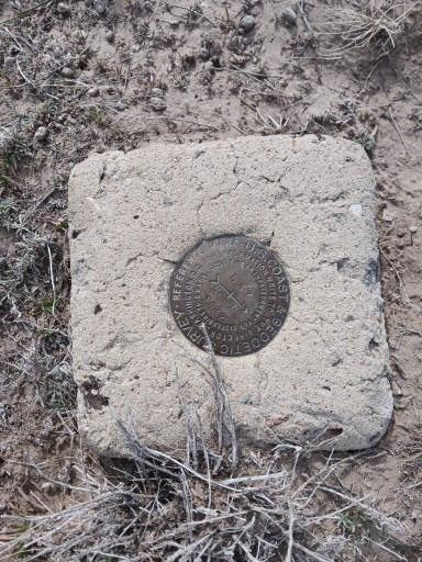
- Boundary retracements
- Easement and Right-of-Way location
- Legal instrument creation
- Improvement Survey Plats
- ALTA Surveys
- Subdivision of property
- Tract consolidation
- Access/title investigations
Surveying Operations
I have fully engaged in all aspects of the profession, with successful projects including:
- serving Water & Sanitation Districts, preparing legal instruments for easement acquisition;
- Facilitate water and property rights transfer with the U.S. Forest Service (Pike, San Isabel, Routt National Forests);
- assisting numerous Attorneys and Title Companies in conflict resolution relating to fundamental property boundary law, expert witness;
- aiding developers in the subdivision process in multiple counties in Colorado; providing boundary retracement services to private land owners, utilities, and municipalities;
- assisting BHP Billiton at the SAN JUAN COAL MINE near Farmington, New Mexico, in the coal leasing process and mine development and operations;
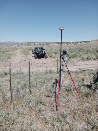
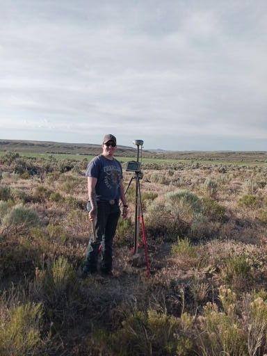
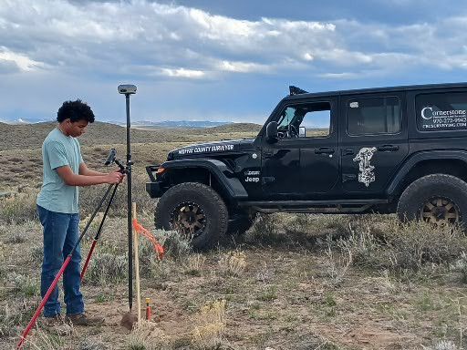
- Full access to modern GPS and robotic instrumentation, field trucks, remote RV housing for onsite project operations, ATVs, etc. I can still hike 3 miles in one hour. Colorado Licensed EMT (Basic).
Experience
April 2017–May 2022: Department Manager, High Country Engineering, Inc.
I served as a full-time professional land surveyor as an employee in a civil engineering and land surveying company in Glenwood Springs, Colorado. Initially directing multiple survey crews in conducting all phases of land development in the Roaring Fork Valley, Garfield, Pitkin, and Eagle Counties, my role transitioned to providing professional services on a consulting basis. These services included interacting with attorneys, title companies, and developers, conducting title searches, boundary evidence review and analysis, preparation of legal descriptions and exhibits related to access and utility easements, resolution of boundary conflicts, ALTA/NSPS and Improvement Surveys, retracements of mining claims and subdivision platting. My survey monuments were installed in the ground, and signatures and stamps were affixed to hundreds of surveys in one of the country's most complicated and litigious areas.
June 2014 to April 2017: San Juan Coal Mine (BHP Billiton), Farmington, New Mexico.
Surveying duties about all aspects of underground and strip mining, reclamation, and mine development, including planning and conducting underground sight installations for the continuous miner and extended wall operations, including control level calculations, directing entry and cross-cut stakeout data, directing computations for surface locations for drilling installation of utility infrastructure, survey permit boundary lines including platting, easement creation, legal instrument interpretation and survey documentation, stakeout surface roadways, utilities, structure locations, topographic and improvement surreys related to mine reclamation, and monitoring high wall, subsidence monitoring, and erosional mine features.
June 1989–2014: President/Owner-Cornerstone Boundary Consultants LLC.
Fully engaged in all aspects of the profession, with successful projects including serving water and sanitation districts in the preparation of legal instruments for easement acquisition; facilitating water and property rights transfer with the U.S. Forest Service (Pike National Forest); assisting numerous attorneys and title companies in conflict resolution relating to fundamental property boundary law and expert witness; aiding developers in the subdivision process in multiple counties in Colorado; providing boundary retracement services to private land owners, utilities and municipalities; assisting BHP Billiton at the San Juan Coal Mine near Farmington, New Mexico in the coal leasing process and mine development; field related surveying services to Peabody Coal, Sage Creek Mine near Hayden, Colorado.
May 1989 to June 2014: Sole Proprietor – Cornerstone Boundary Consultants, LLC :
Consulting business providing Professional Land Surveying services to many hundreds of clients:
Water & Sanitation Districts
Municipalities
Bureau of Land Management
U.S. Forest Service
Commercial Developers
Title companies & Abstractors
Real Estate Law Firms
Contact us now if you want to learn more!